TIMELINE: Strong storms possible in parts of Central Florida
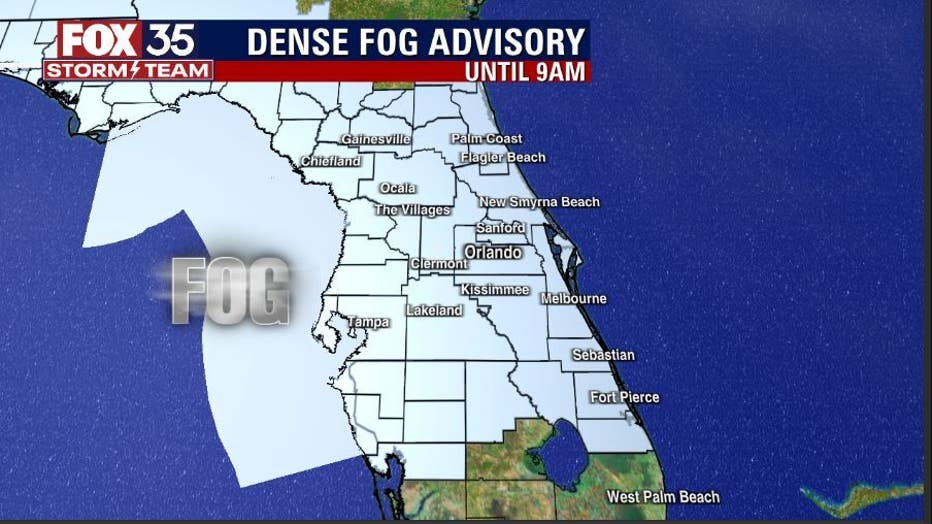
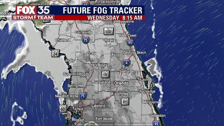
ORLANDO, Fla. - After a very foggy start, a weak cold front will move into North Florida this afternoon.
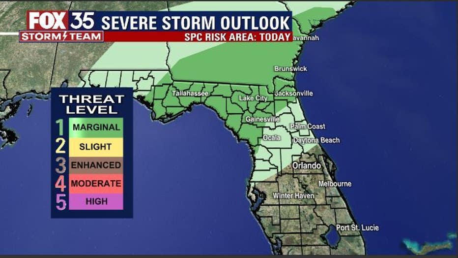
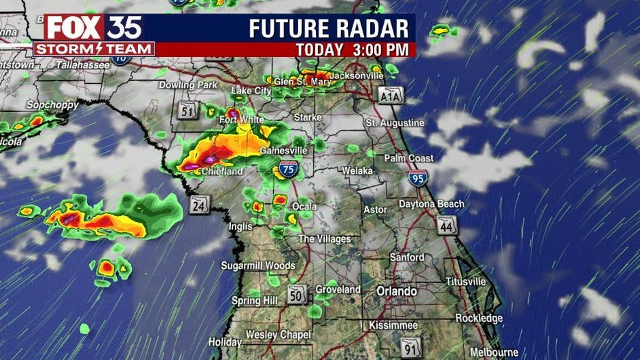
While energy with this system is lacking, there appears to be enough to produce a few stronger storms over North Central Florida after 2 p.m. this afternoon.
The Storm Prediction Center has outlined that area with a MARGINAL RISK of severe storms during this time. A MARGINAL RISK means that storms could get strong producing isolated damaging wind gusts and potentially a tornado a little closer to the Florida-Georgia border, tornado risk looks quite low.
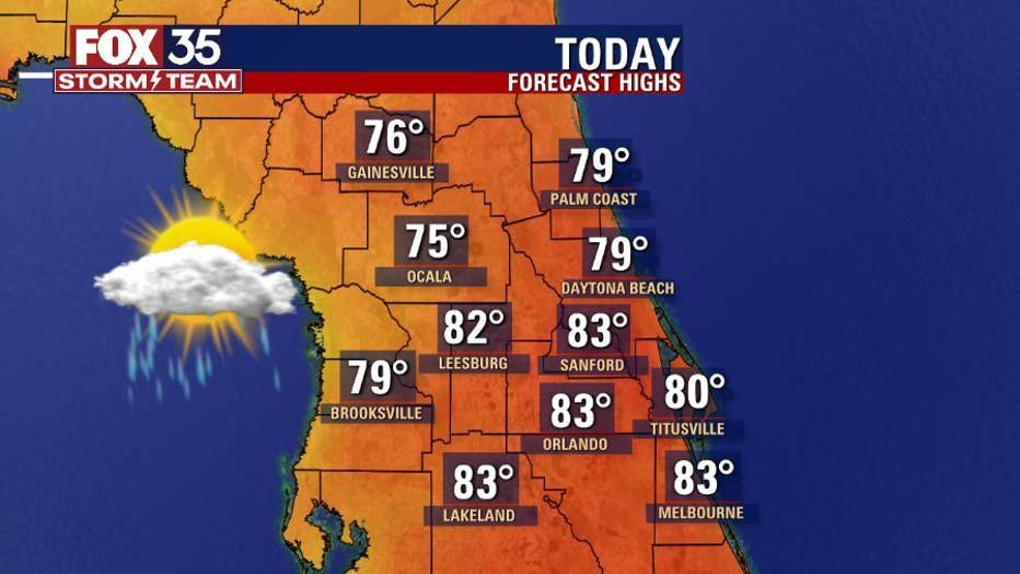
Showers will be possible closer to Orlando Metro after 4 p.m., storms are not expected there. Again, timing for the stronger storms in North Central areas appears to be after 2 p.m. and the FOX 35 STORM TEAM will be watching and tracking!
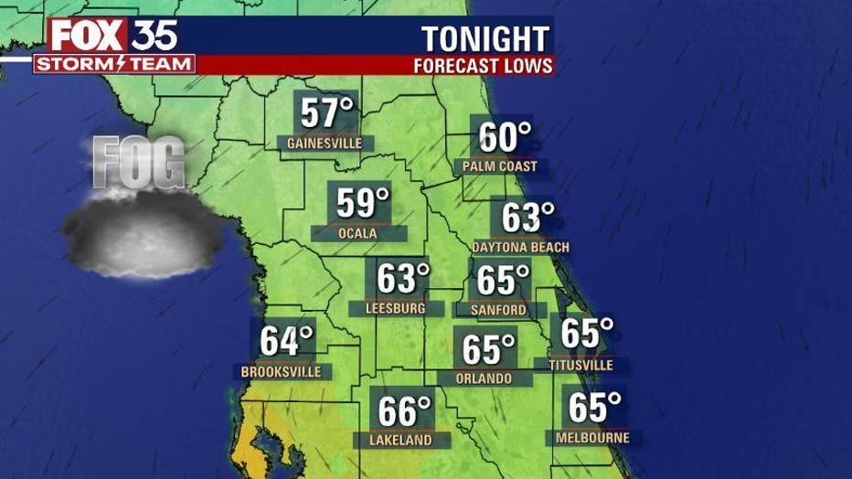
Overnight into Thursday morning, lows fall into the 60s near Orlando, upper 50s northern counties. Again, patchy dense fog could develop heading into Thursday morning: we're watching this for you.
Over the weekend, another front will move through Central Florida. Expect a few showers from this passing system late Saturday into early Sunday morning. Behind the front, temperatures will fall a bit with most areas seeing highs in the 70s, lows retreat into the 50s to start off next week.
Watch Good Day Orlando for LIVE updates with the FOX 35 Storm Team. Download the FOX 35 Storm Team Weather app for live radar, severe weather alerts, and daily forecast reports on your phone

