

Orlando weather: Heat advisory for Central Florida as heat index climbs to the 100s
Orlando weather: Hot, humid, and storm chances
It's going to hot, humid, with daily chances for showers and thunderstorms. FOX 35 meteorologist Noah Bergen has the latest forecast, timeline, potential impacts, and what you need to know.
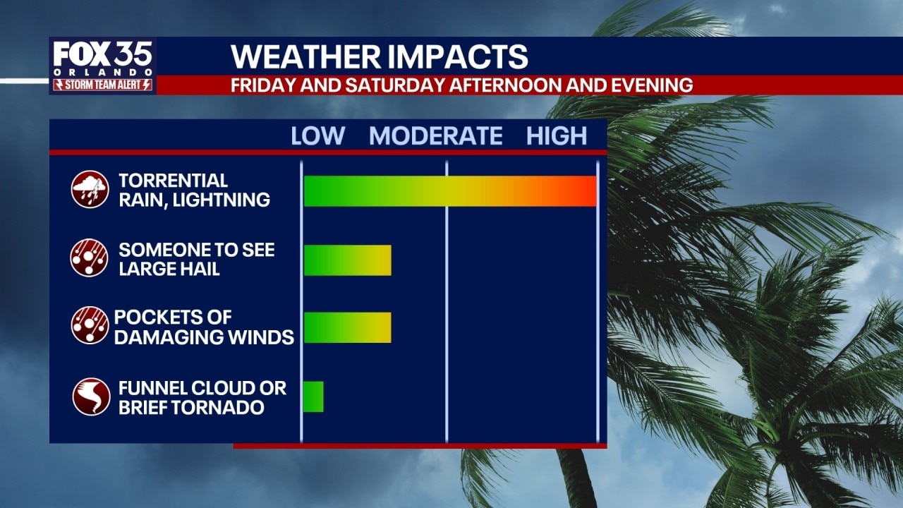
ORLANDO, Fla. - Showers and thunderstorms – some strong – are possible across parts of Central Florida on Thursday night, bringing with it threats of damaging winds and large hail.
Tonight's Forecast + Severe Storm Threat
Timeline:
We're expecting it to be hot and humid tonight with the potential for some showers and strong thunderstorms in and around Orlando.
The peak time for storms will be between 6 p.m. and 10 p.m. in the Orlando metro and the Interstate 4 corridor.
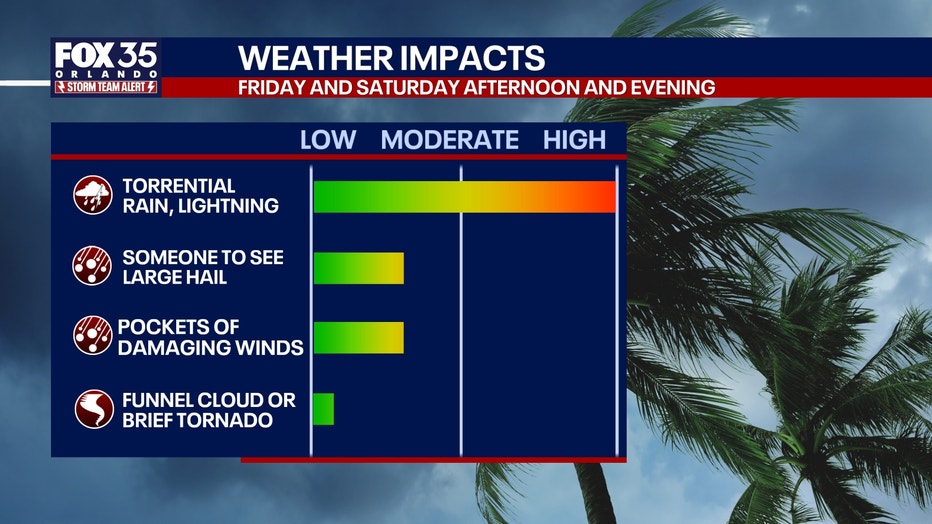
A few of those storms could become severe with damaging winds and/or large hail stones possible.
Overnight Conditions: It will remain very hot and humid overnight. Temperatures will be exceptionally warm, with lows in some locations staying near or above 80°F
Friday's Forecast
Friday brings a mix of clouds and sunshine alongside another round of intense heat and humidity.
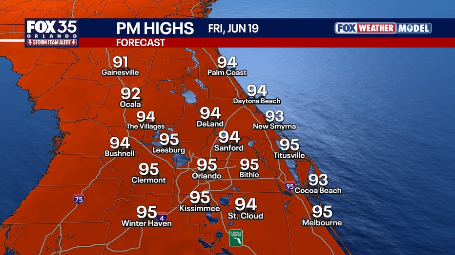
Temperatures & Heat Index: Afternoon highs will climb into the 93–98 degree range. When factoring in the humidity, the heat index is expected to peak between 107 and 112 degrees across central Florida.
Friday Rain Chances: Expect widespread afternoon pop-up storms and downpours. These storms will track in a southeastward direction, and a few could once again become strong to severe.
Weekend Forecast
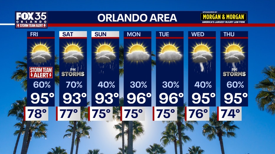
Saturday: This day will hold the weekend's highest rain chances, with storms developing in the afternoon.
Sunday: Conditions turn a bit drier with lower coverage of afternoon storms.
Weekend Temperatures: Temperatures will pull back slightly, returning to the lower 90s as humidity dips.
The Source: The information used in this story was provided by the FOX 35 Storm Team.