

Saharan Dust Drying Up The Tropics
Orlando, Fl - Every few years we get a larger than normal surge of Saharan dust being blown across the Atlantic Basin. Right now there is a huge plume of upper level dust blowing from east to west across the tropical atlantic. This plume of dust is ejected into the upper atmosphere due to massive thunderstorm updrafts currently rumbling across the western Sahara.
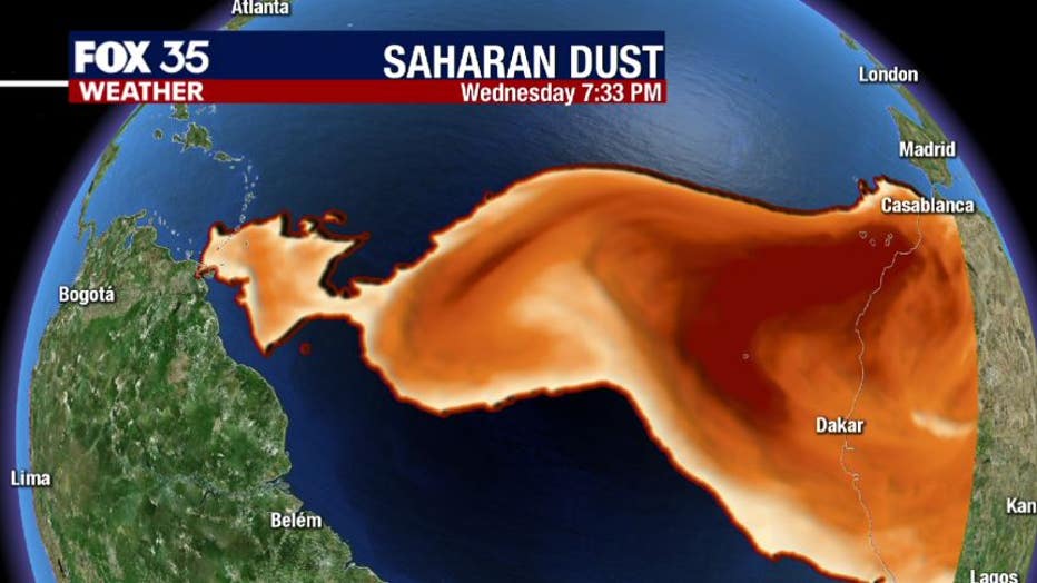
This dust layer located at 30,000 to 40,000 feet in the atmosphere absorbs solar radiation and heats faster than the surrounding airmass. This warming causes clouds to collapse and also dries out the upper atmosphere that further kills off clouds and any tropical development.
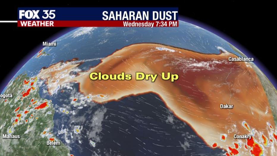
This drying will last for up to two weeks and can even last an additional 7-10 days after the dust has dispersed. You can see clearly in this satellite image from Wednesday evening that the there is a direct connection between high dust concentrations and lack of cloud cover.
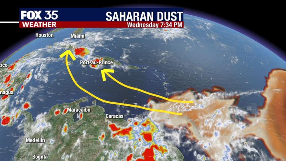
The upper level flow should carry this Saharan Dust across the Caribbean and up towards Florida. This will keep our tropical forecast quiet and also create some brilliant sunsets and sunrises in the coming days and weeks.
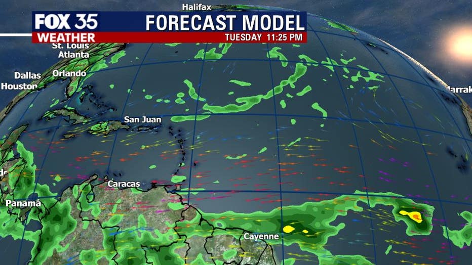
Take a look at this extended outlook for next week Tuesday. Notice the lack of rain and even clouds across the Atlantic, Caribbean and the Gulf of Mexico. We will still have our normal afternoon storms, but will not have anyting brewing in the tropics due to this Saharan Dust.