Orlando weather: Sunny Saturday with a few passing clouds in the afternoon
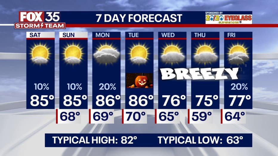
Today's high: 85 degrees
Tonight's low: 68 degrees
Main weather concerns:
Another mild night with lows falling only into the upper 60s and low 70s for most of tonight. We'll continue to see above-average weather to end the month of October. Highs will remain in the mid 80s with plenty of sunshine through Halloween. Our next cold front arrives next Wednesday and will bring highs back into the 70s with breezy winds to follow. Despite the front, our rain chances remain slim over the next week.
BEACHES:
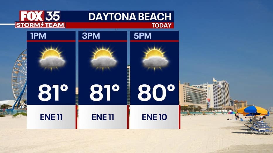
Gusty ENE winds and a rough surf zone will be the big story at the beaches again today. Surf will be in the 4-6' range today with a high rip current risk. Skies will feature passing sun and clouds, a few showers will blow in off the Atlantic through the day, and chances are near 10%. It is not recommended to enter the surf at this time. Surf will actually increase a bit over the weekend as two swell sources combine forces. Strong swell from distant Atlantic low pressure (Tammy is back) will funnel into the surf zone. The powerful, long-period nature of this swell will keep the rip current threat elevated.

THEME PARKS:
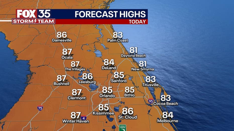
Wear a hat and sunglasses! Warmer than average for the time of year with highs in the mid-upper 80s.

OUTLOOK:
Monday will start kind of cloudy with some fog especially NW of the city (The Villages, Ocala, Gainesville, etc). After mid-morning or so, it turns out to be mostly sunny. Halloween night will be warm and should be dry. A front arrives Wednesday and it turns breezy to end the week with MUCH cooler air arriving. A 'wind chill' in the lower 50s could present itself even in Orlando Thursday morning, maybe some mid-upper 40s feels like readings in The Villages and Ocala at daybreak Thursday morning.

TROPICS:
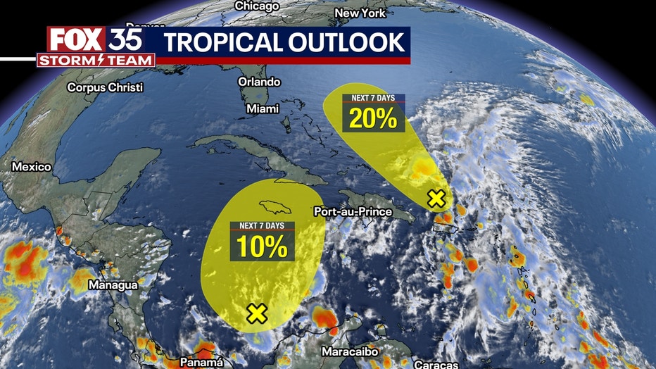
Tropical Storm Tammy is falling apart in the middle of the Atlantic. Elsewhere, two areas of storms are being watched by the NHC and the FOX 35 Storm Team. One area of low pressure in the Caribbean is unlikely to become anything (10% of development). A new area of concern (96L) has popped up north of the Puerto Rico and has a 20% chance of development in the next 7 days. It is expected to head towards the Bahamas but run into unfavorable conditions from there early next week. The hurricane season continues through November so keep with us for the latest!


