Orlando weather: Heavy downpours and potential minor flooding

Orlando Weather: July 23, 2023
FOX 35 meteorologist Ian Cassette has a look at your weather forecast for Orlando and Central Florida.
Today's high: 91 degrees
Tonight's low: 76 degrees
Main weather concerns:
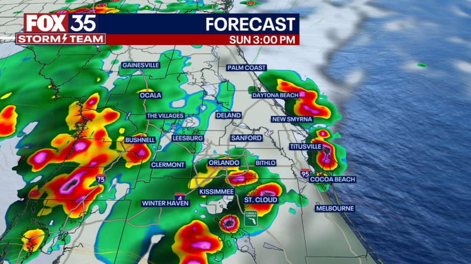
Storms return to the forecast Sunday and could arrive sooner than in recent days. Showers and storms have developed along the Gulf Coast and will continue to push east through Central Florida into this afternoon. Rain could arrive before lunchtime in some areas west of I-4 and then increase in coverage this afternoon. We will be watching for heavy downpours and potential minor flooding where rounds of rain may fall. In addition, strong storms could produce very gusty winds, frequent lightning, and a brief tornado near the Atlantic coast. With more clouds and rain, it won't be as hot today, but some areas near the Space Coast could still see triple-digit heat where a Heat Advisory is in effect (Southern Brevard County). Most should see highs near 90 to low 90s south.
BEACHES:
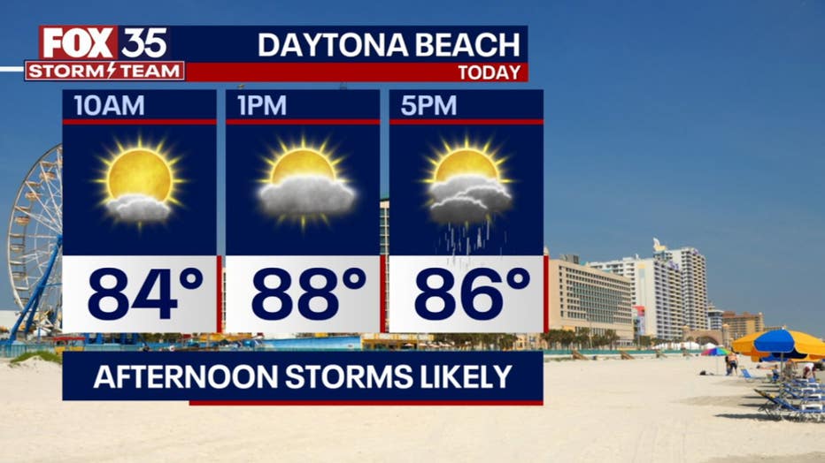
Quiet and sunny weather early in the day will become quickly stormy by mid-afternoon. Your beach day will likely come to an end as rounds of heavy rain will be possible along the coast through dinner time. Highs will warm to the low 90s with a west wind. Additionally, a moderate rip current risk continues.

THEME PARKS:
It may be a good idea to have the poncho with you today. Showers and storms appear likely by lunchtime and should continue through late afternoon. Highs will reach the low 90s before the rain arrives, then cooler with temperatures in the 80s under cloudier conditions the rest of the day.

OUTLOOK:
High levels of heat and humidity continue in the forecast which will allow for daily chances of showers and storms through this week. Highs will continue to climb into the 90s with lows in the upper 70s. With rounds of heavy rain possible, the flood risk may increase as the week goes on. Download the FOX 35 Storm Team weather app so you can track and storms in your neighborhood by using the interactive radar feature.

TRACKING THE TROPICS:
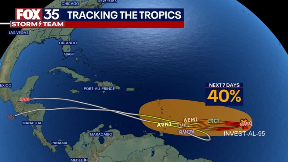
After briefly becoming the first hurricane of the 2023 season Saturday, Don has returned to its tropical storm status. It will continue to weaken and eventually dissipate as it moves north. Meanwhile, The FOX 35 STORM TEAM is monitoring an area of low pressure in the Atlantic, Invest 95L. Environmental conditions have not been kind to this tropical wave and models show it has limited chances to develop as it heads west towards the Caribbean this week. It currently has a 30% of development over the next two days (40% through the next 7 days). Depend on the FOX 35 Storm Team as we continue to watch this feature closely.


