When will Central Florida have its next cold front? We explain
We Love Florida Forecast: Dec. 5, 2021
FOX 35 Storm Team Meteorologist Allison Gargaro discusses the next big thing coming to Central Florida.
ORLANDO, Fla. - Central Florida is in for some big weather changes over the next week.
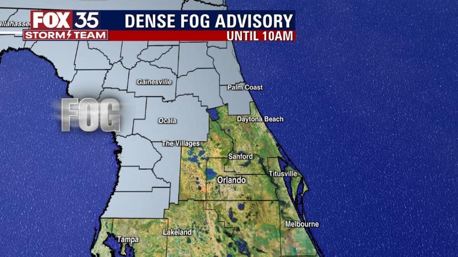
Sunday starts with patchy dense fog in North Central Florida and a few clouds across the Orlando metro.
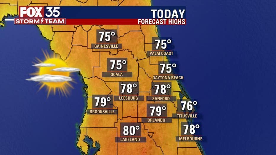
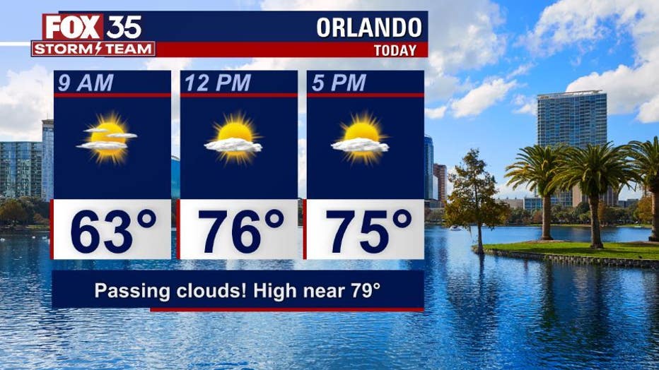
Afternoon highs on Sunday will be in the mid to upper-70s across the viewing area. Some locations could briefly reach 80 degrees.
WEATHER ALERTS: Download the FOX 35 Storm Team Weather app for live radar, severe weather alerts, and daily forecast reports on your phone
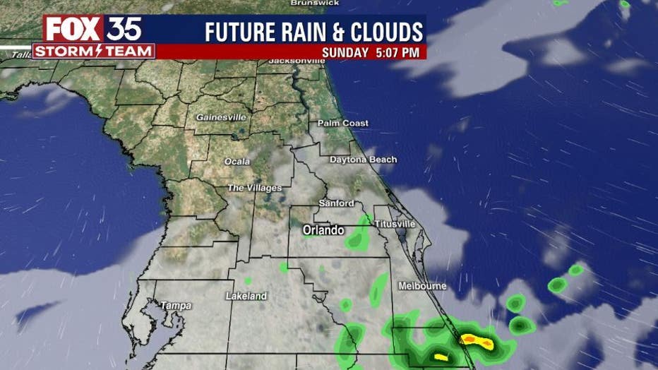
Dry conditions are likely across the interior, but southern Brevard County could see some light rain this afternoon.
High pressure dominates for the next several days, bringing in much warmer temperatures.
Beginning on Monday and continuing through at least next Saturday, afternoon highs will be in the low-80s, with overnight lows in the 60s.
MORE NEWS: Still need a Christmas tree? What stock is like at Orlando tree lots
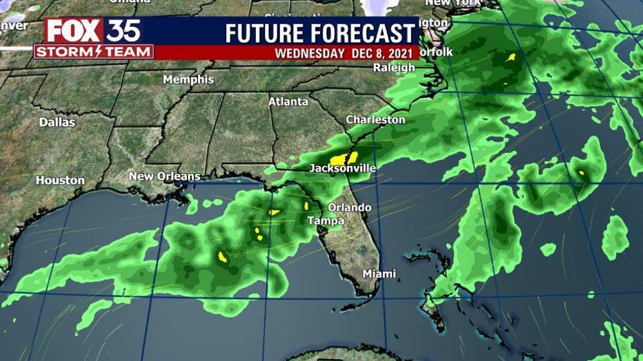
There is a chance for shower activity by the middle of the week, at 30 percent coverage.
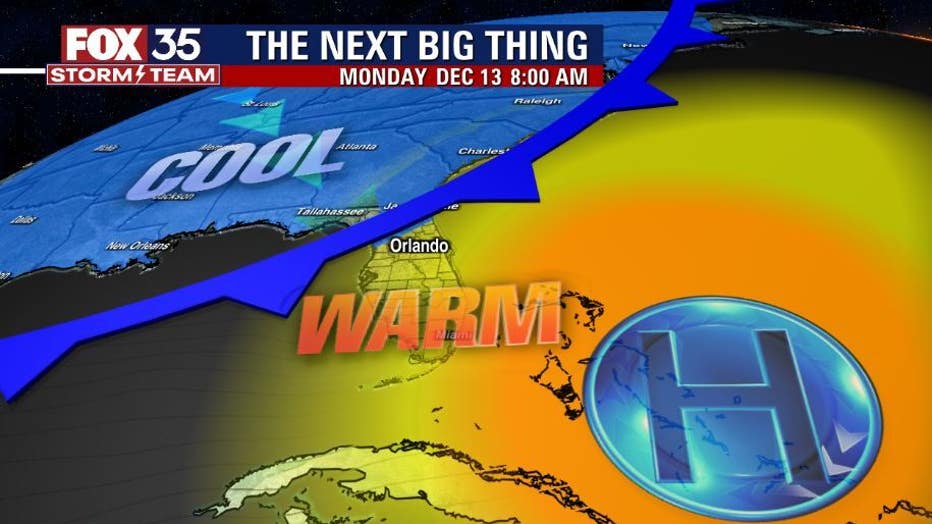
Central Florida's 'Next Big Thing' is a cold front arriving by the middle of the month. That front will likely bring a cool down to start the week of Dec. 13.
The FOX 35 Storm Team will continue to track your future forecast, so you can depend on us.
Watch FOX 35 Orlando for the latest weather updates.

