

Stroms chances increase to round out weekend
Orlando PM Forecast: Cloudy start to the week
Another round of showers and storms is on the table today. Meteorologist Laurel Blanchard has the timeline and when highs look to spike back into the 90s.
THIS EVENING/TONIGHT:
ORLANDO, Fla. - Storm chances look more scattered as we round out the weekend. Like we saw on Saturday, the cold front will continue to push in from the north and the seabreezes will fire up some scattered storms Sunday afternoon through Sunday evening. Main areas will be areas north of Orlando and the east coast.
This will bring welcome rain because at this point any rain is good rain, but the risk of lightning could spark another fire. Storms will continue and slowly fizzle through the overnight with an isolated shower lingering into Monday with temps falling into the upper 60s with muggy conditions.
MONDAY:
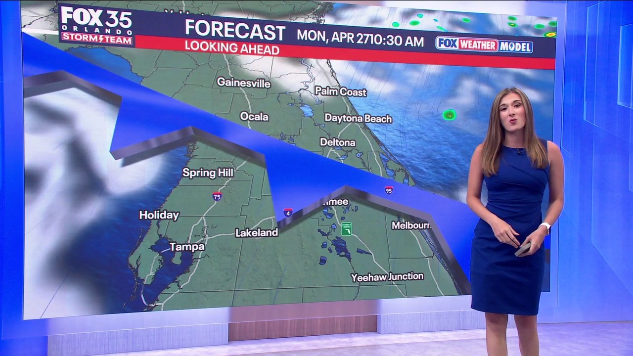
The cold front will continue to push thru Central Florida bringing clouds breezy conditions and the possibility of a few isolated spotty showers. This will bring our temps down just a smidge into the mid 80s. Partly to mostly cloudy skies are on tap for the start of the week with highs in the mid 80s. Overnight temps will stay mild in the mid and upper 60s.
LOOKING AHEAD:
The heat will be back on by the middle of the week as a ridge of high pressure quickly builds back in. Highs will be back into the upper 80s and low 90s. Late in the week another cold front could sneak in bringing in a stray shower and some relief from the heat. Rain chances look higher next weekend.