

Orlando weather: Scattered afternoon storms return to Central Florida
Orlando Weather Forecast: Tracking storms
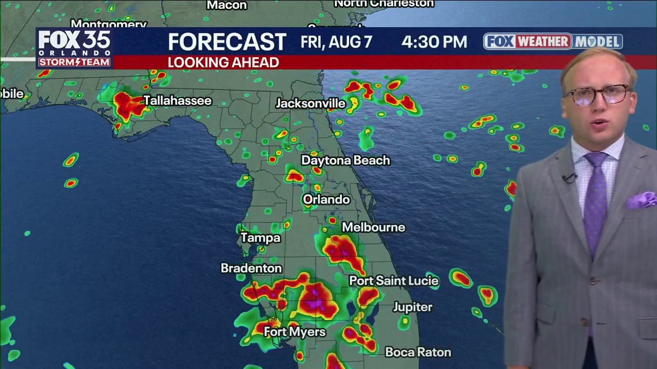
A change to the wind pattern across central Florida over the next few days means that storms and rain daily will move westwards. FOX 35 Storm Team Senior Meteorologist Noah Bergren is tracking the changes.
ORLANDO, Fla. - It will be a classic summer pattern over the next few days with daily showers and storms around Central Florida.
There will be a big change in the pattern starting Thursday and lasting through Saturday with dominant east to west flow across Florida. That means the highest daily rain chances are on the western side of the state and areas west of Orlando.
Forecast: Daily rain chances stick around, but move to the west side of the state
For our area, expect midday to early-afternoon activity along the I-95 corridor that drifts inland by mid-afternoon, strengthens west of Orlando, and reaches peak intensity along the I-75 corridor outside our region.
By 4–6 p.m. most days, the bulk of our area should be drying out as the storms exit to the west. The I-95 beach communities usually clear first.
Back to school; back to heat
A pattern change next week will bring hotter conditions, with highs climbing into the mid to possibly upper 90s across central Florida as many schools reopen. This has already been the top-five hottest summer on record around Orlando, and next week’s warmth will add to that total.
Tropical Atlantic quiet for now
A strong El Niño is expected to keep tropical activity in the Atlantic well below normal this hurricane season, producing fewer systems overall. Some models hint at possible development somewhere in the basin around mid-month, but that looks unlikely. The El Niño is generating strong wind shear that tends to tear systems apart before they can organize and strengthen.
The Source: The information in this story was provided by the FOX 35 Storm Team.