Orlando weather forecast: Another round of scattered storms for Central Florida

Weather Forecast: August 23, 2022
FOX 35 Storm Team Chief Meteorologist Jayme King has the forecast.
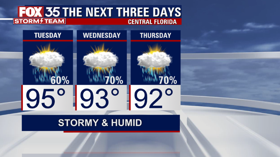
ORLANDO, Fla. - Today's high: 95 degrees
Tonight’s low: 75 degrees

Rain:
60% chance PM storms.
Main weather concerns:
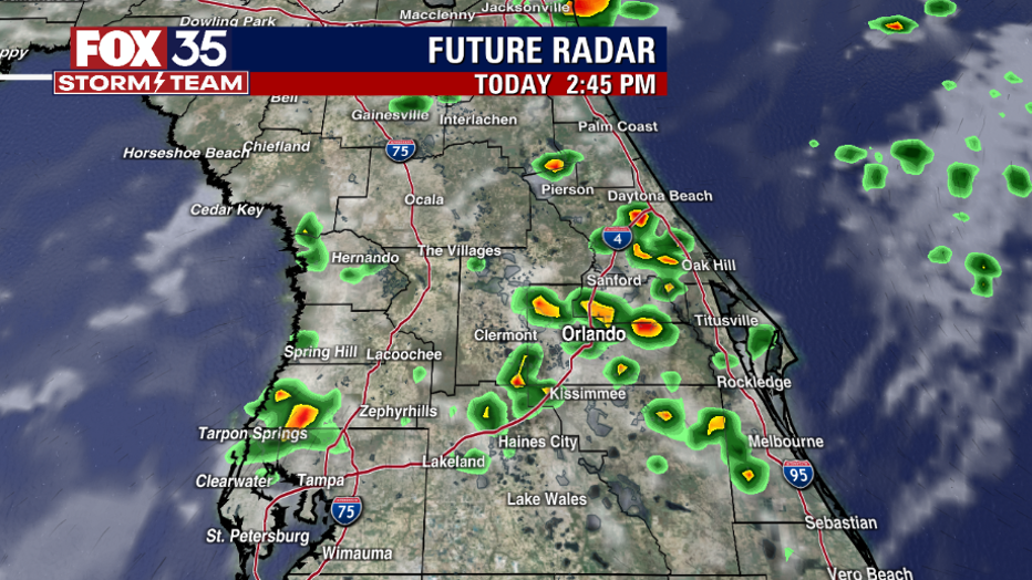
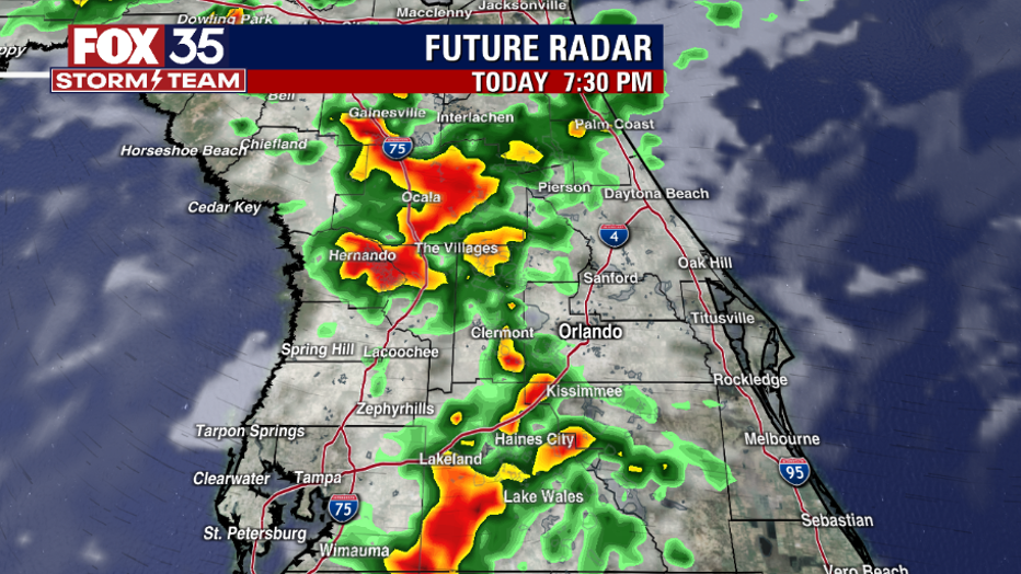
Isolated to scattered storms are expected to develop this afternoon and continue into the evening. Storms that develop will be slow-moving and produce torrential downpours which could lead to localized flooding, frequent lightning and strong winds. The highest chance for storms in the Orlando metro will be 4pm-9pm. The best storm chances will stay west of I-95 with beaches expected to be drier with coverage at 40%.
BEACHES:
There will be a 30 to 50% chance for afternoon storms at the beaches. Waves 1-2 feet with a moderate risk for rip currents. Lightning will be a danger between 4pm-7pm, but some storms could linger until midnight. Remember, when thunder roars, go indoors.
THEME PARKS:
Hot and humid conditions continue today. Afternoon highs will reach the mid-90s with feels like temperatures in the triple digits. Make sure you stay hydrated. After 2pm, shower and thunder storm chances are on the rise. Heavy rain and lightning will be likely.
EXTENDED OUTLOOK:
Even better storm chances return late week with an increase in tropical moisture expected. Between today and the end of the weekend, local rain accumulations could exceed 2" in some locations. Depend on the FOX 35 Storm Team and download the FOX 35 Storm Team App!
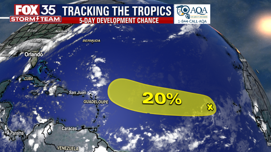
TROPICS:
NHC is currently watching a very disorganized tropical wave just West of the Cape Verde Islands. Chance of development is low at 20% over the next 5 days.