Hurricane Ian continues to impact Florida with record flooding, dangerous rip currents
Hurricane Ian continues to impact Florida with record flooding, rip currents
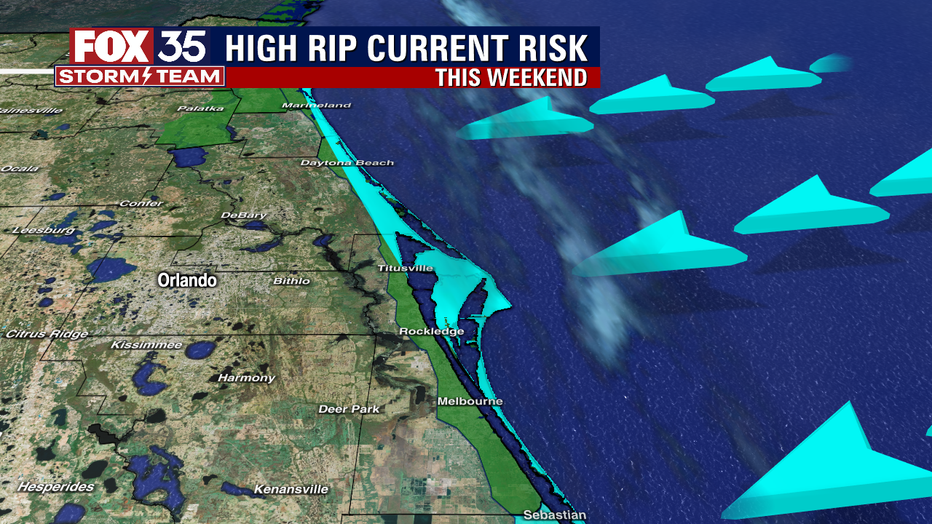
Hurricane Ian will continue to impact Florida long after its departure, primarily through record flooding along rivers and streams and dangerous rip currents along the Atlantic Coast.
LAKE MARY, Fla. - Hurricane Ian will continue to impact Florida long after its departure, primarily through record flooding along rivers and streams and dangerous rip currents along the Atlantic Coast.
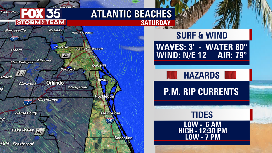
"We've still got swell coming in from Hurricane Ian, which is now made landfall in South Carolina," said FOX 35 Meteorologist Brooks Garner. "On Saturday, a lot of the swell will start to go down. We'll still have waves about three feet, maybe four to five feet, but overall, the swell start diminishing as winds out of the north to the east."

The highest chance for rip currents will be with the outgoing tide.
"If you do venture out there in the waters, the afternoons will be the most dangerous time for you," said Garner.

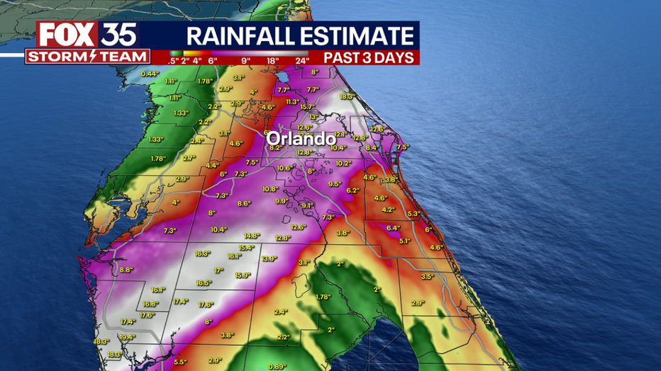
Central Florida continues to deal with the unprecedented flooding in some places after we picked up between 15 and 20 inches of rain as Ian tracked through Florida.

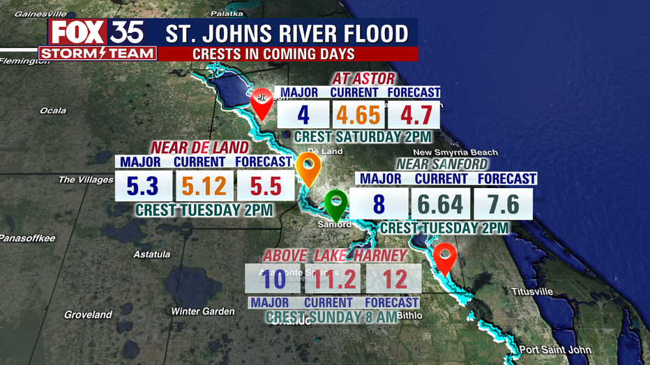
"All the water from the small creeks then drains into the medium-sized creeks," Garner added, "so all the places that did not flood initially suddenly started to flood. As we head into the weekend, places along the St. Johns River may start to flood."

Places like Astor, DeLand, and Sanford will see the St. Johns rise in the coming days.
"Remember that the St. Johns River floods from south to north, because the river flows in that direction," said Garner.

