2 tropical waves on the move in Atlantic; first Pacific hurricane of the season forms

Tracking the Tropics: June 26, 2021
FOX 35 Storm Team Meteorologist Kristin Giannas has the latest tropical activity in the Atlantic Ocean and the Gulf of Mexico.
LAKE MARY, Fla. - The first Pacific Ocean hurricane of the 2021 season formed overnight more than 150 miles offshore of Manzanillo, Mexico.
Hurricane Enrique is expected to strengthen over the next day, according to the National Oceanic and Atmospheric Administration's (NOAA) National Hurricane Center (NHC).
"Overnight, #Enrique became a hurricane more than 150 miles offshore of Manzanillo, Mexico. Additional strengthening is forecast. Enrique could become a Category 2 hurricane by Sunday while remaining offshore, parallel to the Mexican coastline," the NHC's Eastern Pacific region tweeted Saturday morning.
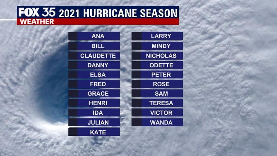
The Pacific basin and Atlantic basin have different sets of names for hurricanes. The next named storm in the Atlantic basin and the Caribbean Sea will be Danny.
WEATHER ALERTS: Download the FOX 35 Storm Team Weather app for live radar, severe weather alerts, and daily forecast reports on your phone
Closer to Central Florida, the FOX 35 Storm Team is tracking two disturbances in the Atlantic Ocean.
"A broad area of disorganized shower and thunderstorm activity near Bermuda has a low chance of development (10%) in the next five days," said FOX 35 Meteorologist Kristin Giannas. " It's expected to move westward."

In the far eastern Atlantic, just off the coast of Africa, another tropical wave has formed several hundred miles southwest of the Cabo Verde Islands. It continues to produce disorganized showers and thunderstorm activity.
Some slow development of this system is possible through the middle of next week while it moves a little faster toward the west and then west-northwest at about 20 mph. Formation chance through the next five days is at 30%.

TRACK THE TROPICS: See enhanced weather data and storm forecast models at OrlandoHurricane.com
Depend on the FOX 35 Storm Team as we track showers and storms live all week.

