Coolest air since Spring coming to Central Florida: Here's when it arrives
Weather Report: September 22, 2021
FOX 35 Storm Team Meteorologist Brooks Garner give the latest on the weather in Central Florida.
ORLANDO, Fla. - It's the first day of Fall but in typical Florida style, we remain in Summer mode!
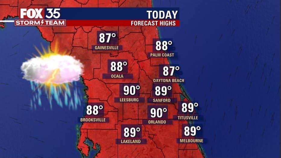
Area highs hit near 90-degrees inland and 80s along the beaches. Humidity remains high as we still have a tap of tropical moisture in place ahead of an approaching cool front.
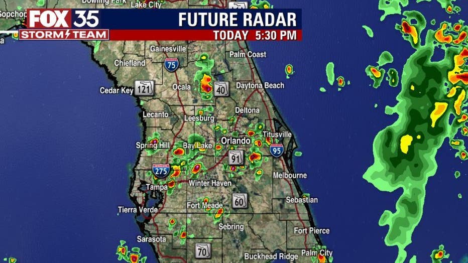
The rainfall pattern will set up a bit different today, developing over the west side of the state and then exiting out into the Atlantic later this evening.


WEATHER ALERTS: Download the FOX 35 Storm Team Weather app for live radar, severe weather alerts, and daily forecast reports on your phone
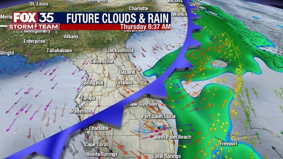
The approaching front will move across the area by early Thursday, slowing down a bit South of Orlando. The front will usher in some drier air as tropical moisture gets shoved down into South Florida.


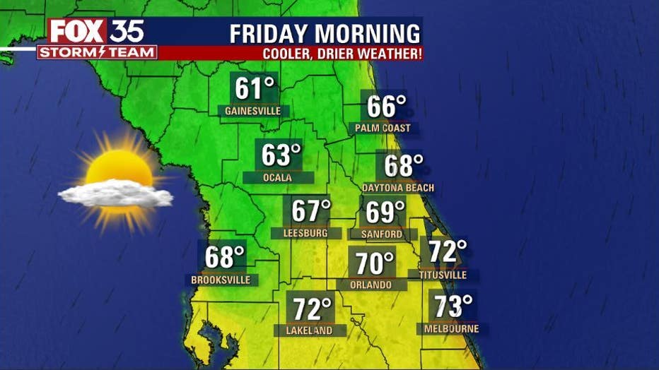
Friday morning behind the front will bring some marked change to the local airmass. Our northern viewing will wake up in the 60s for some cooler change – numbers we haven't seen since last Spring!
Areas closer to Orlando will be in 70°s but, dew points/humidity will be lower making things a bit more comfy.
Watch FOX 35 News for the latest weather updates.

